Landforms & Bodies of Water Teaching Pack — 6-Lesson Curriculum (Grades 2–5)
Original price was: 31.99 $.17.99 $Current price is: 17.99 $.
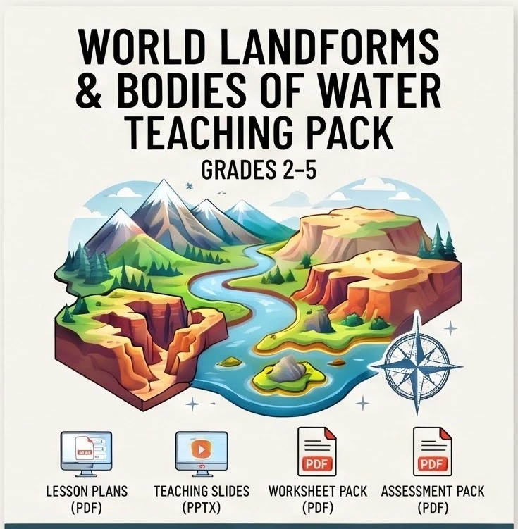
A 6-lesson tour of 14 landforms and bodies of water — from mountains and valleys to peninsulas, canyons, and sand dunes — built around one big idea: every landform has a specific shape and a specific cause. This comprehensive world landforms and bodies of water teaching pack includes lesson plans, an editable slide deck, worksheets, and assessments in one download.
Description
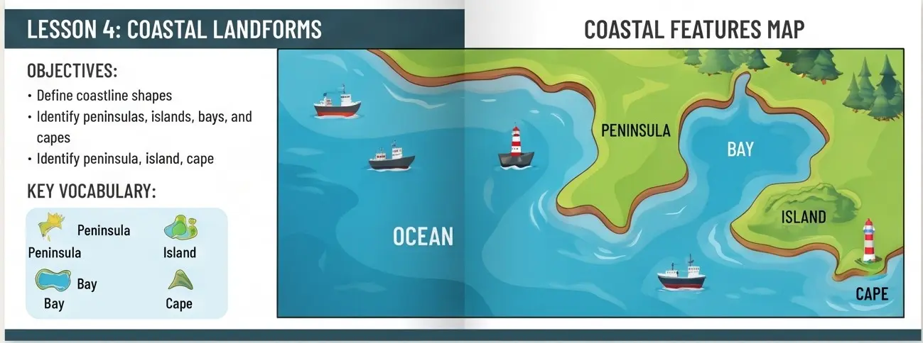
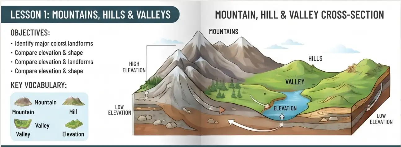
Continents & Oceans teaches WHERE the world’s land and water are. This pack teaches the specific SHAPES that land and water take everywhere on Earth. The AtlasWise world landforms and bodies of water teaching pack takes students from “What is a landform?” all the way to reading a physical map’s elevation colors like a story, in six lessons that each introduce 2–4 related landforms by name, shape, and cause. Every single diagram in this pack — the mountain/hill/valley cross section, the plain-to-plateau escarpment, the river’s journey from source to mouth, the labeled coastline with its peninsula, island, bay, and cape, the canyon carved into striped rock layers, and the sea-level-to-mountain-peak elevation profile — is an original illustration built specifically to teach that lesson’s content, not a stock landscape photo.
One idea repeats all the way through: every landform has both a specific shape and a specific cause — something built it up (like colliding tectonic plates) or something wore it down (like a river’s erosion). By Lesson 6 of this world landforms and bodies of water teaching pack, students aren’t just naming 14 landforms and bodies of water from memory — they’re reading a physical map’s color legend and explaining what shaped the land underneath it. This foundational vocabulary makes the rest of our Teacher Resources line click into place. For broader physical science standards and geological frameworks, educators can also reference resources from U.S. Geological Survey.
Lesson-by-Lesson Breakdown
- Lesson 1: Mountains, Hills & Valleys — Intro (raised & low landforms)
- Lesson 2: Plains & Plateaus — Flat landforms, 2 elevations
- Lesson 3: Rivers, Lakes & Waterfalls — Moving & still fresh water
- Lesson 4: Coastal Landforms: Peninsulas, Islands, Bays & Capes — 4 coastline shapes
- Lesson 5: Deserts, Canyons & Dunes — Erosion by water & wind
- Lesson 6: World Review — Reading a Physical Map — Capstone review (all 14)
What’s Inside (4 Components, 1 Download)
- Lesson Plans — 14-page PDF covering all 6 lessons: learning objectives, key vocabulary, warm-up, direct instruction, guided activity, exit ticket, homework, and Below/Above differentiation for every lesson.
- Teaching Slides — A 26-slide, fully editable PowerPoint deck (.pptx) with a title slide, a divider + illustrated-diagram + vocabulary + activity sequence for each of the 6 lessons, and a closing review slide. Office-standard fonts, fully editable.
- Worksheet Pack — 8-page PDF, one worksheet per lesson: a landform diagram to label plus fact fill-in-the-blank sentences, closing with a two-page Lesson 6 whole-unit review matching all 14 landforms to their definitions.
- Assessment Pack — 11-page PDF: a 24-question multiple-choice + 3-question short-answer Unit Test, two shorter 5-question formative quizzes (Lessons 1–3 and 4–6), and complete answer keys for every worksheet.
Why Choose This World Landforms & Bodies of Water Teaching Pack?
Teachers across primary and elementary grade levels rely on structured, time-saving curricula. Choosing our world landforms and bodies of water teaching pack provides several distinct advantages:
- Complete landform coverage — all 14 landforms and bodies of water (mountains, hills, valleys, plains, plateaus, rivers, lakes, waterfalls, peninsulas, islands, bays, capes, canyons, and sand dunes) with nothing skipped and nothing repeated.
- One rule explains everything — “every landform has a shape AND a cause” is named explicitly in Lesson 1 and revisited in every lesson’s direct instruction.
- Built-in “aha” hooks — a river carving the Grand Canyon over millions of years, the one-word difference between a peninsula and an island, and why physical maps use color instead of labels.
- 6 original instructional diagrams — every lesson gets its own original process diagram built specifically to teach each shape clearly.
- Completes the physical geography set — the foundational vocabulary companion to our World Climate Zones & Biomes Teaching Pack and our Natural Disasters & Earth’s Processes Teaching Pack.
Format & What You’ll Need
- File Formats: 3 PDFs (Lesson Plans, Worksheet Pack, Assessment Pack) + 1 editable .pptx (Teaching Slides).
- Total Length: 33 printable pages + a 26-slide presentation.
- To Open: Any PDF reader; PowerPoint, Keynote, or Google Slides for the presentation deck.
- To Edit: Teaching Slides are fully editable; PDFs can be annotated or printed as-is.
- Delivery: Instant digital download — no physical item is shipped.
- License: Single classroom / single teacher use. Please purchase additional licenses for school- or district-wide use.
Frequently Asked Questions
- Is this pack appropriate for younger students than your other geography packs? Yes — at Primary/Upper Primary (Grades 2–5) it’s written slightly younger than our Climate & Biomes and Natural Disasters packs, which makes it a natural first stop to build vocabulary.
- Does this replace or repeat your Continents & Oceans pack? No — Continents & Oceans teaches WHERE continents and oceans are. This pack teaches the specific SHAPES land and water take at any scale.
- Are the landform diagrams real places or generic illustrations? Generic, original illustrations built specifically to teach each shape clearly, the same way a textbook diagram would, rather than a photo of one specific real-world landform.
- Is this appropriate for grades outside 2–5? It’s written for Primary/Upper Primary, but every lesson’s Below/Above differentiation gives it real flex into a kindergarten-adjacent classroom on the low end or a strong middle-school review on the high end.
Good to Know Before You Buy
- This is a digital product. Nothing is shipped — your ZIP file is available for download immediately after purchase.
- Due to the nature of digital goods, all sales are final.
- This world landforms and bodies of water teaching pack is your definitive all-in-one curriculum for mastering elementary physical geography vocabulary.
Related products
-
Sale!
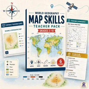
World Geography Map Skills Teacher Pack — Progressive K-10 Curriculum
Original price was: 30.00 $.19.99 $Current price is: 19.99 $. Add to cart -
Sale!

Ultimate 6-Lesson Natural Disasters & Earth’s Processes Teaching Pack
Original price was: 30.00 $.18.99 $Current price is: 18.99 $. Add to cart -
Sale!
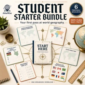
Ultimate Student Starter Bundle — World Geography Learning Resources
Original price was: 18.50 $.12.50 $Current price is: 12.50 $. Add to cart -
Sale!
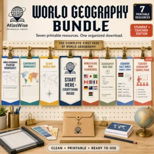
Ultimate World Geography Bundle — Complete Learning Library
Original price was: 24.50 $.17.50 $Current price is: 17.50 $. Add to cart
Reviews
There are no reviews yet.