
Continents & Oceans Teaching Pack — Primary Geography Curriculum (Grades 2–5)
Original price was: 25.50 $.17.99 $Current price is: 17.99 $.
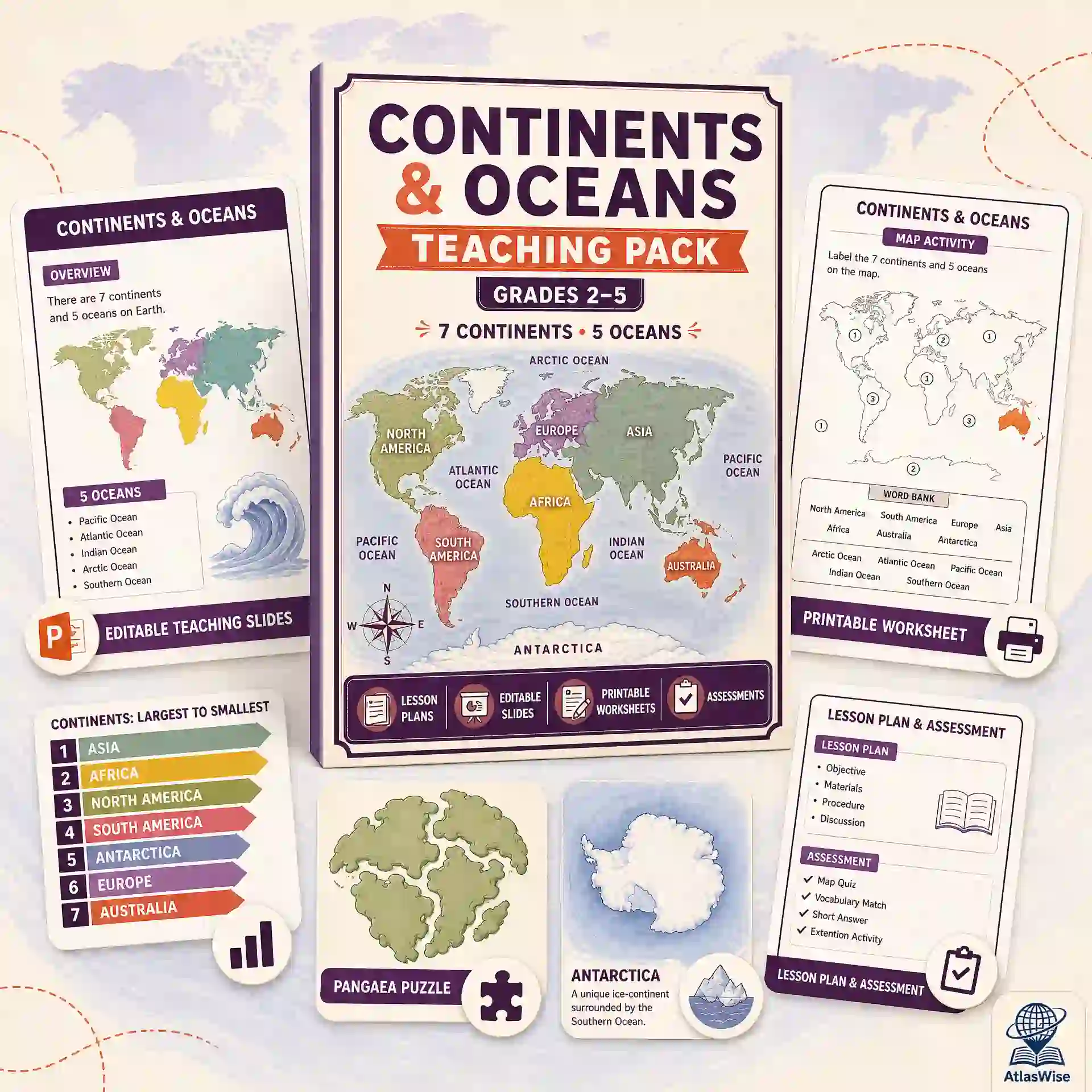
A foundational 6-lesson unit every other geography unit assumes — all 7 continents and all 5 oceans, taught one continent-and-ocean pairing at a time. This comprehensive continents and oceans teaching pack includes lesson plans, an editable slide deck, worksheets, and assessments in one download.
Description
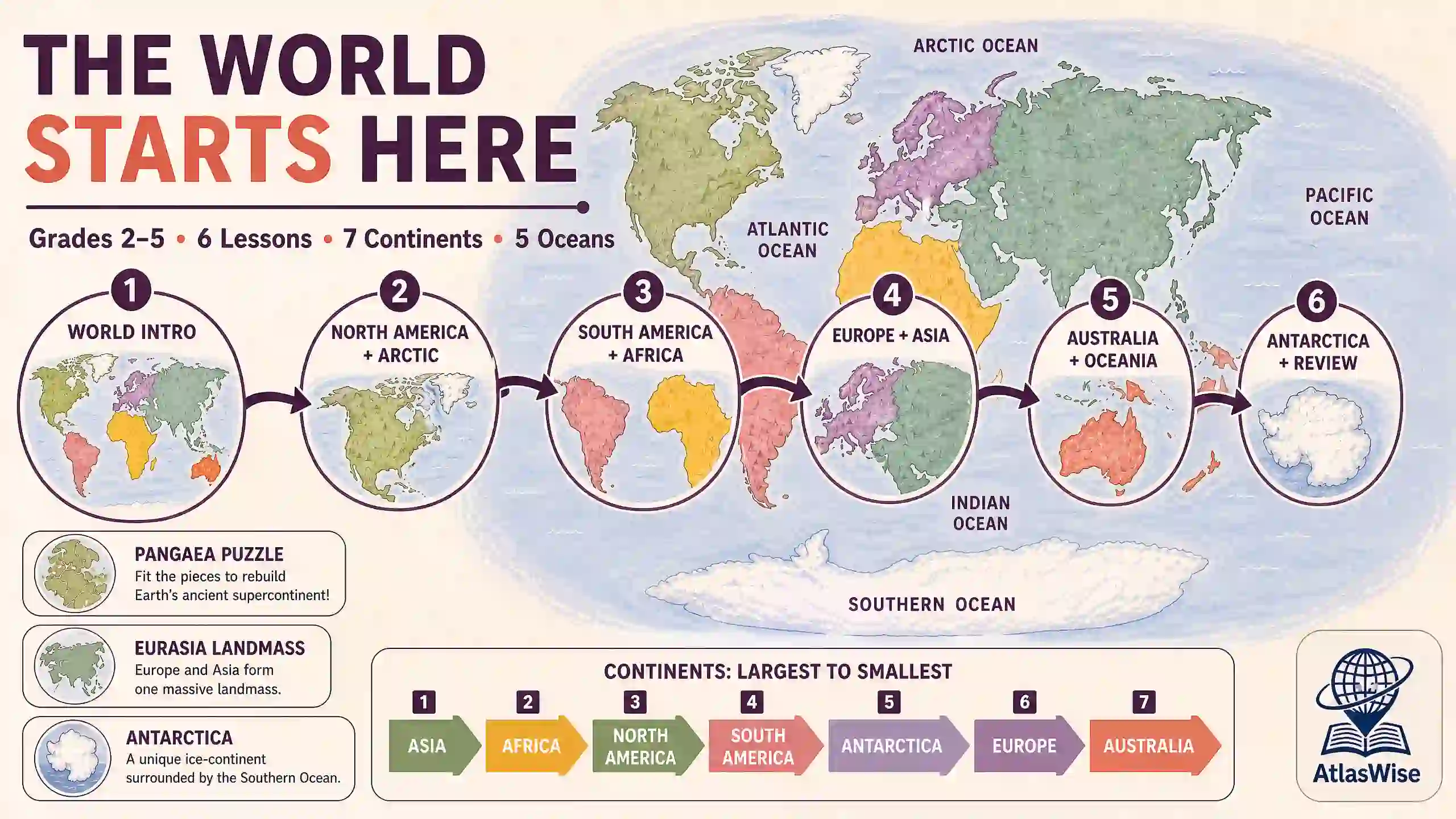
Before students can learn any regional geography, they need the mental map everything else hangs on: the 7 continents, the 5 oceans, and roughly how they fit together. The AtlasWise continents and oceans teaching pack is that foundation, built as its own complete 6-lesson unit rather than a single overview worksheet — an intro lesson naming and sizing every continent and ocean at once, four lessons that each pair one (or two adjacent) continents with the ocean it’s best known for, and a capstone Antarctica-and-review lesson that pulls the whole world back together before the Unit Test.
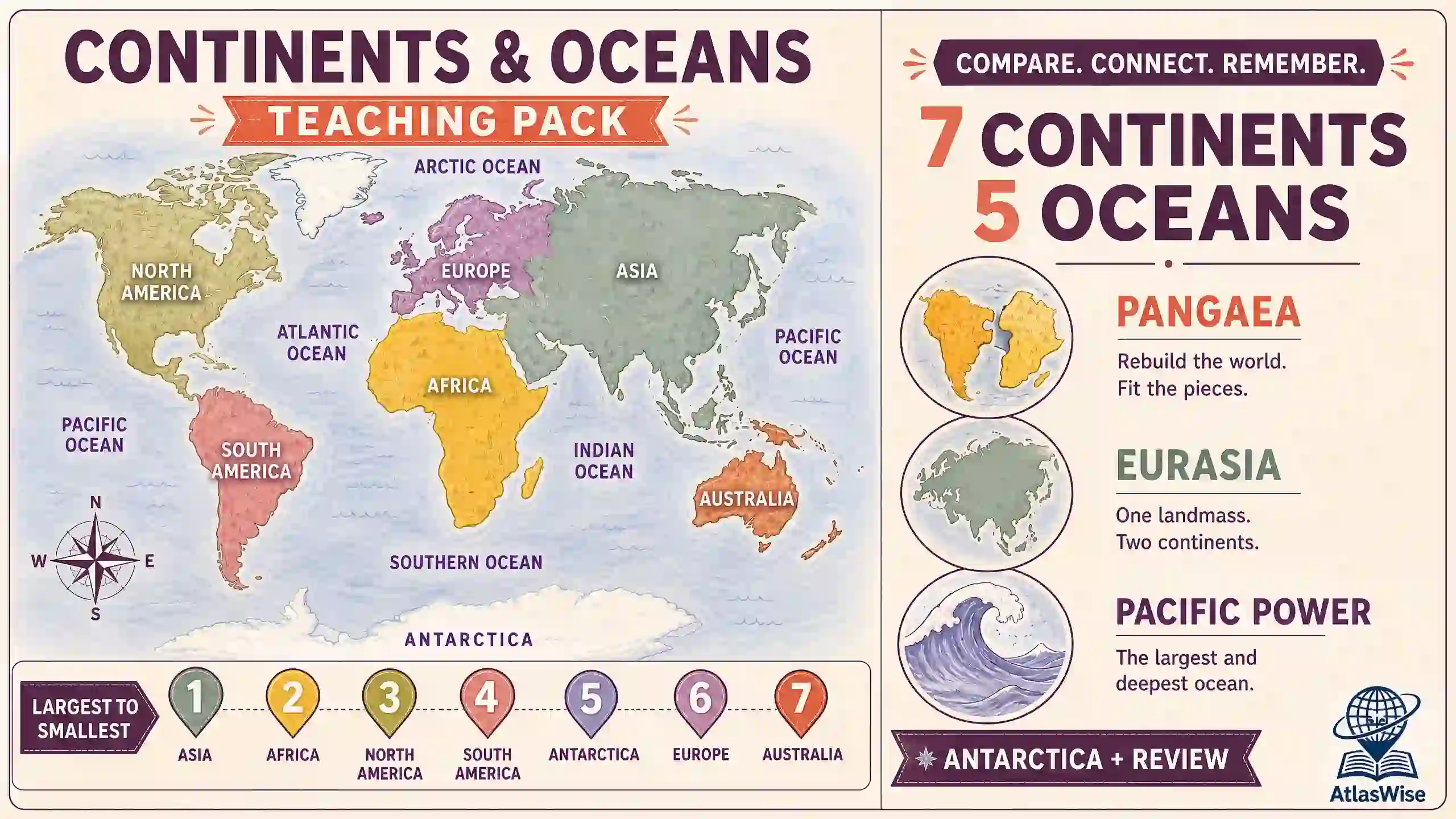
One idea repeats in every lesson so the facts stick: continents and oceans can always be compared and ranked by size, largest to smallest. Along the way, students pick up genuinely memorable hooks — South America and Africa’s coastlines fitting together like puzzle pieces from the ancient supercontinent Pangaea, Europe and Asia sharing one landmass called Eurasia, the Pacific Ocean alone being bigger than every continent combined, and Antarctica being the one continent no country owns. For broader educational standards and geographic frameworks, educators can also reference resources from National Geographic Education. Every lesson’s map in this continents and oceans teaching pack is an original illustration built from real country geometry and colored by continent, not a stretched stock globe graphic.
Lesson-by-Lesson Breakdown
- Lesson 1: What Is a Continent? What Is an Ocean? — Whole-world intro naming and sizing every major landmass and water body.
- Lesson 2: North America & the Arctic Ocean — Focused study on North America and northern polar waters.
- Lesson 3: South America & Africa & the Atlantic Ocean — Two continents (the “Pangaea” pairing) and the Atlantic basin.
- Lesson 4: Europe & Asia (Eurasia) & the Indian Ocean — Combined Eurasian landmass and regional water systems.
- Lesson 5: Australia & Oceania & the Pacific Ocean — Island nations, Oceania, and the world’s largest ocean.
- Lesson 6: Antarctica & the Southern Ocean — World Review — Capstone review covering ice-sheet geography and whole-world synthesis.
What’s Inside (4 Components, 1 Download)
- Lesson Plans — 14-page PDF covering all 6 lessons: learning objectives, key vocabulary, warm-up, direct instruction, guided activity, exit ticket, homework, and Below/Above differentiation for every lesson.
- Teaching Slides — A 26-slide, fully editable PowerPoint deck (.pptx) with a title slide, a divider + illustrated-map + vocabulary + activity sequence for each of the 6 lessons, and a closing review slide. Built in Office-standard fonts so it opens correctly on any machine.
- Worksheet Pack — 8-page PDF, one worksheet per lesson: a continent/ocean map to label plus fact fill-in-the-blank sentences, closing with a two-page Lesson 6 whole-world review.
- Assessment Pack — 11-page PDF: a 24-question multiple-choice + 3-question short-answer Unit Test, two shorter 5-question formative quizzes (Lessons 1–3 and 4–6), and complete answer keys for every worksheet.
Why Choose This Continents & Oceans Teaching Pack?
Teachers across primary grade levels rely on structured, time-saving curricula. Choosing our continents and oceans teaching pack provides several distinct advantages:
- True full-world coverage — every one of the 7 continents and all 5 oceans is covered exactly once by the end of the unit without skipping or repetition.
- One comparison habit, reinforced six times — “largest to smallest” is threaded through every lesson’s vocabulary and direct instruction so ranking becomes automatic.
- Built-in “aha” hooks — South America and Africa’s matching coastlines, Eurasia’s single landmass, and the Pacific’s sheer size provide memorable learning moments.
- Handles Antarctica honestly — uses an original illustrated ice-continent diagram rather than a stretched or inaccurate map stand-in.
- The perfect first geography unit of the year — serves as the natural on-ramp to other resources in our Teacher Resources catalog, including our Countries & Capitals Teaching Pack and Africa Geography Complete Teaching Unit.
Format & What You’ll Need
- File Formats: 3 PDFs (Lesson Plans, Worksheet Pack, Assessment Pack) + 1 editable .pptx (Teaching Slides).
- Total Length: 33 printable pages + a 26-slide presentation.
- To Open: Any PDF reader; PowerPoint, Keynote, or Google Slides for the presentation deck.
- To Edit: Teaching Slides are fully editable; PDFs can be annotated or printed as-is.
- Delivery: Instant digital download — no physical item is shipped.
- License: Single classroom / single teacher use. Please purchase additional licenses for school- or district-wide use.
Frequently Asked Questions
- Is this too basic for my grade level? It’s written for Primary/Upper Primary (Grades 2–5), but every lesson includes Above-level differentiation notes for stronger classes, and it works well as a fast-paced review at the start of middle school.
- Why isn’t Antarctica shown on a real map like the other continents? The underlying world map data doesn’t include the Antarctic landmass as its own standard shape. Lesson 6 uses a purpose-built illustrated diagram that is honest about what Antarctica is: an ice-covered, unowned continent surrounded by the Southern Ocean.
- How is this different from your Countries & Capitals Teaching Pack? This pack is the “big picture” layer covering the 7 continents and 5 oceans, while Countries & Capitals goes one level deeper to teach 58 specific nations and their capital cities.
- Does this pair with your other geography units? Yes — it is designed as the entry point to the entire AtlasWise geography line. Teach this first for the whole-world foundation, then move into map skills via our World Geography Map Skills Teacher Pack.
Good to Know Before You Buy
- This is a digital product. Nothing is shipped — your ZIP file is available for download immediately after purchase.
- Due to the nature of digital goods, all sales are final.
- This continents and oceans teaching pack is your definitive all-in-one curriculum for establishing foundational spatial awareness in primary classrooms.
Related products
-
Sale!

Ultimate 6-Lesson Natural Disasters & Earth’s Processes Teaching Pack
Original price was: 30.00 $.18.99 $Current price is: 18.99 $. Add to cart -
Sale!
World Climate Zones & Biomes Teaching Pack — 6-Lesson Physical Geography Curriculum
Original price was: 31.99 $.18.99 $Current price is: 18.99 $. Add to cart -
Sale!
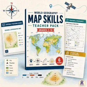
World Geography Map Skills Teacher Pack — Progressive K-10 Curriculum
Original price was: 30.00 $.19.99 $Current price is: 19.99 $. Add to cart -
Sale!
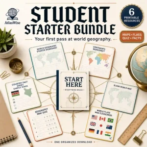
Ultimate Student Starter Bundle — World Geography Learning Resources
Original price was: 18.50 $.12.50 $Current price is: 12.50 $. Add to cart
Reviews
There are no reviews yet.