
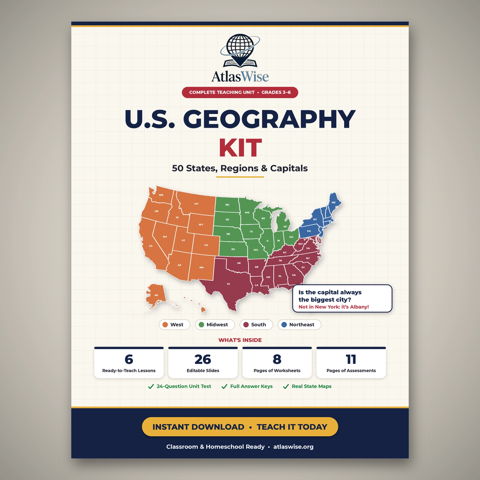
U.S. Geography Kit: 50 States, Regions & Capitals (Grades 3–6)
Original price was: 29.99 $.19.99 $Current price is: 19.99 $.
A complete U.S 50 states and capitals unit for grades 3–6: 6 lesson plans, a matching Teaching Slides deck, print-and-go worksheets, and a full assessment pack covering all 4 U.S. regions.
Description
This U.S. 50 States and Capitals Unit gives grades 3–6 a complete, ready-to-teach tour of the entire United States: all 50 states, all 4 official U.S. Census Bureau regions, and every state capital, built as one connected 6-lesson unit rather than a stack of unrelated worksheets. The AtlasWise U.S. Geography Kit pairs lesson plans, a matching slide deck, print-and-go worksheets, and a full assessment pack, so a teacher or homeschool parent can open it and teach without writing a single extra activity.
Every lesson in this U.S. 50 states and capitals unit follows the same reliable structure: learning objectives, key vocabulary, a warm-up question, direct instruction, a guided map activity, an exit ticket, homework, and built-in differentiation for both below- and above-level students. Lessons 2 through 5 tour one region at a time—the Northeast, Midwest, South, and West—and Lesson 6 pulls everything together into a whole-country review right before the unit test.
What Makes This U.S. 50 States and Capitals Unit Different
Most “US 50 states” resources are either a blank map handed to students to memorize alone or an enormous workbook so sprawling that no teacher has time to use all of it. This unit is neither. It is built around one running idea that makes the content click instead of just repeating: a state capital is not always a state’s biggest or most famous city. Students meet the idea on day one with New York (capital: Albany, not New York City) and see it again in every region that follows—Pennsylvania’s capital is Harrisburg, not Philadelphia; Illinois’s is Springfield, not Chicago; California’s is Sacramento, not Los Angeles.
By the time students reach the Lesson 6 country-wide review, they are not memorizing a list of U.S. 50, unconnected facts—they have internalized a pattern they can explain, including the exceptions to it: Boston, Atlanta, and Denver are each both their state’s capital and their biggest city.
What’s Inside This U.S. 50 States and Capitals Unit
Here is everything included in this complete teaching unit, all in one instant download:
- Lesson Plans (14 pages, 6 lessons): objectives, vocabulary, warm-up, direct instruction, guided activity, exit ticket, homework, and differentiation for every lesson.
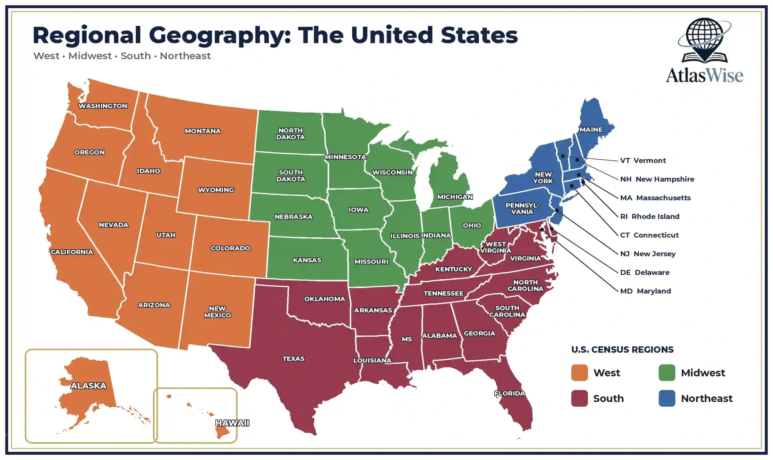
- Teaching Slides (26 slides, 16:9): an editable presentation deck with one section per lesson, including region maps with a correctly inset Alaska and Hawaii on the West map.
- Worksheet Pack (8 pages, 6 worksheets): a map-and-facts worksheet per lesson, plus a two-page whole-country review worksheet for Lesson 6.
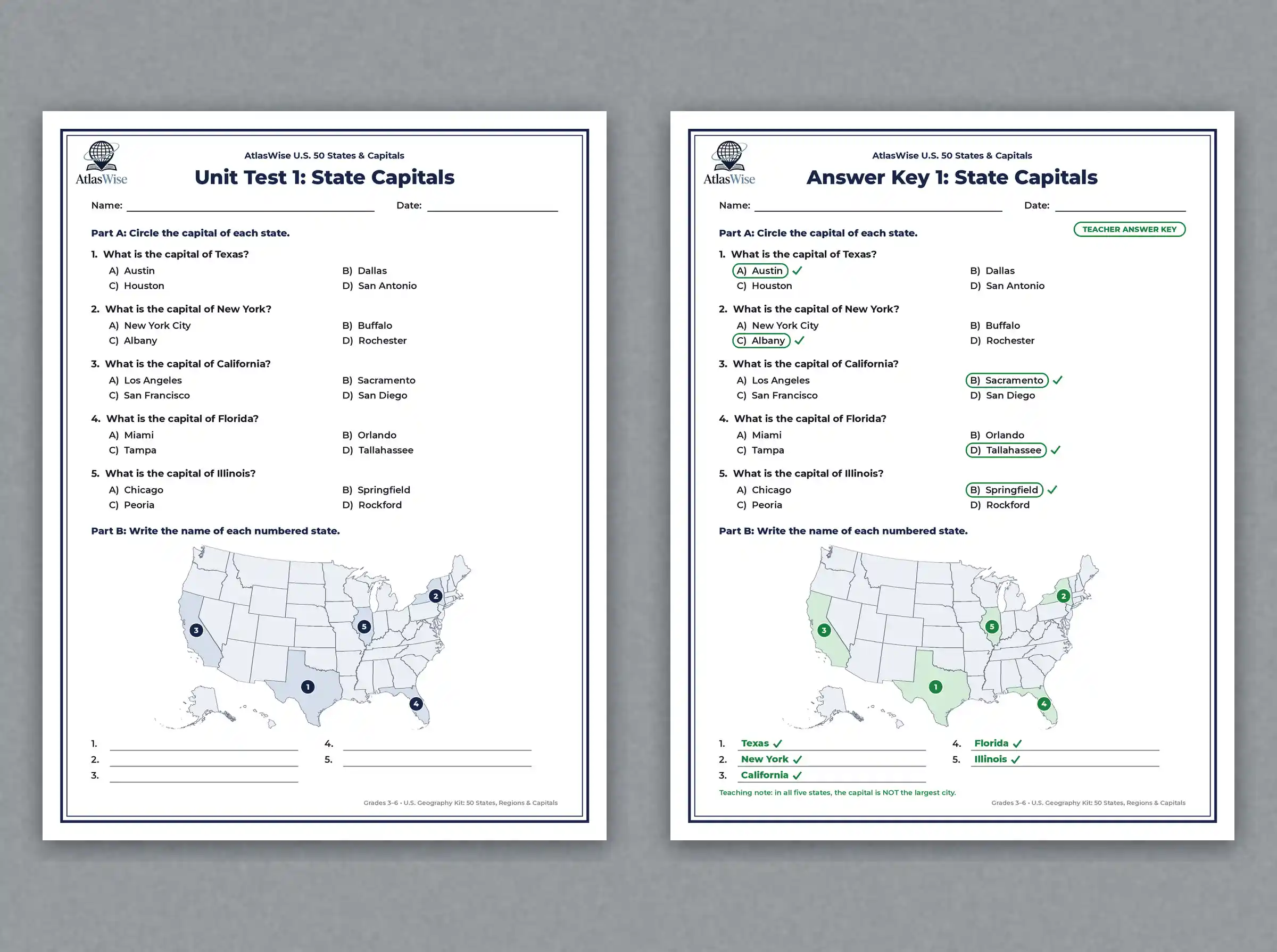
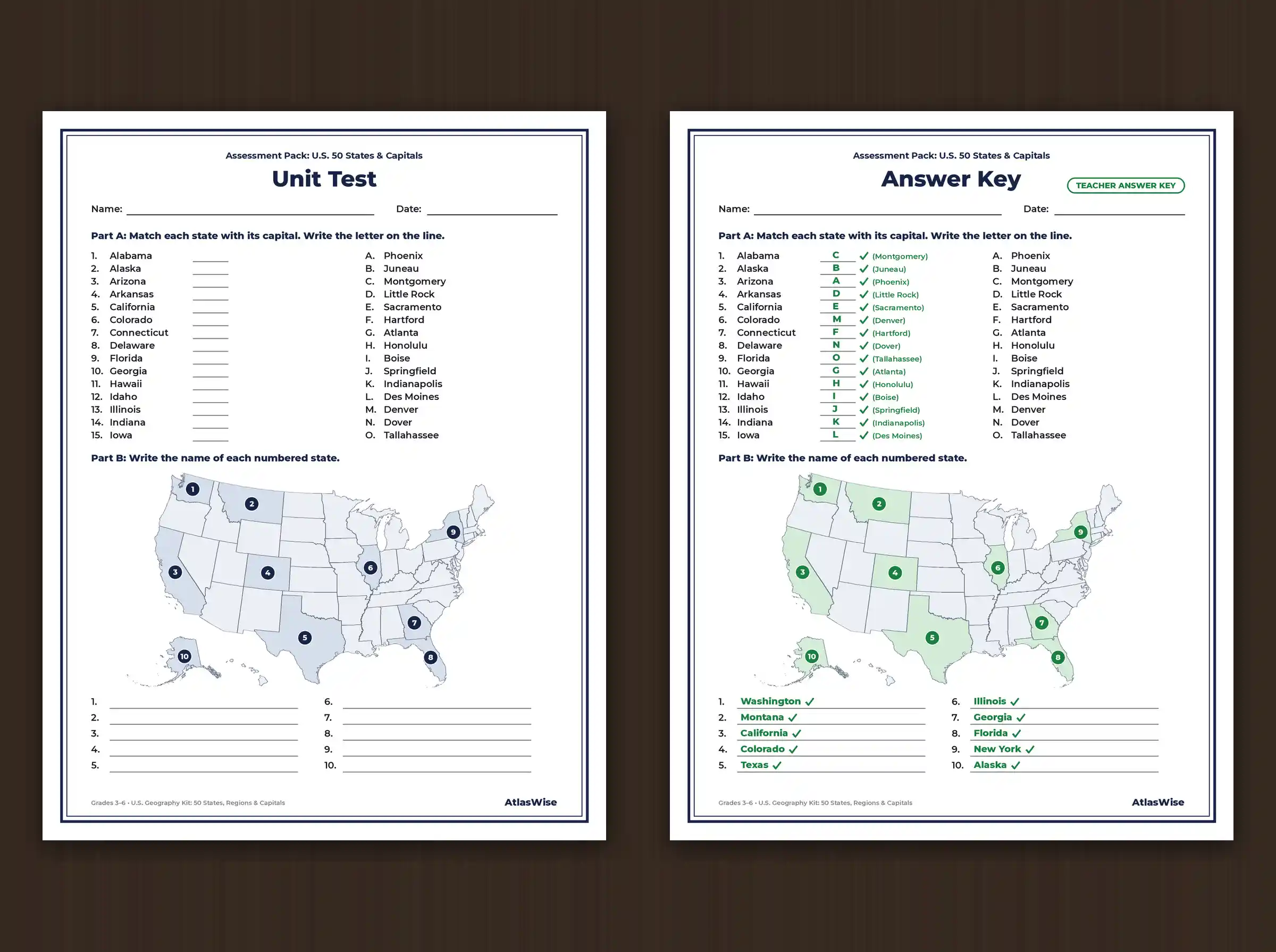
- Assessment Pack (11 pages): a 24-question unit test with 3 short-answer questions, two 5-question formative quizzes, and complete answer keys for every test, quiz, and worksheet.
Why Teachers & Homeschool Families Love This U.S. 50 States and Capitals Unit
- A full week of geography, done: six ready-to-teach lessons, each 40–50 minutes, cover the entire country.
- One running idea, not fifty isolated facts: the capital-isn’t-the-biggest-city thread turns memorization into a pattern kids can reason about.
- Every format already matched: the lesson plan, slides, worksheet and quiz for a lesson all cover the same content in the same order.
- Built-in differentiation, every lesson: below- and above-level adjustments are already written in.
- No prep required: vocabulary, warm-ups, activities, exit tickets, homework, quizzes and answer keys are all done.
- Reusable year after year: answers live only in the Assessment Pack, so worksheet masters can be reused without editing.
The Standards and Skills Behind the Unit
This U.S. 50 states and capitals unit is built around the Five Themes of Geography—Place and Location in particular—and the map-and-globe-skills strand common to upper-elementary and middle-school social studies standards. The 4-region structure follows the U.S. Census Bureau’s official regional divisions, and Lesson 4 draws on the Census Bureau’s own data on Washington, D.C., as a federal district rather than a state. The Great Lakes fact in Lesson 3 is grounded in NOAA’s Great Lakes research, and teachers wanting more background on the framework itself can reference the National Geographic Education five themes overview. Because standards phrasing varies by state, we’d recommend cross-checking the included objectives against your own state’s specific standards before submitting for administrative approval.
How to Use It in Class or at Home
- Full-week U.S. geography unit: teach all 6 lessons back-to-back.
- Regions and map skills topic: use Lessons 2–5 independently to focus on one region at a time.
- Social studies centre: students work through one lesson’s worksheet per session.
- Homeschool geography curriculum: pair it with our free geography quiz and geography games for review.
- Compare-and-contrast extension: once the unit wraps up, older students can use our free Compare Countries tool to see how U.S. states and regions stack up against other nations.
Looking to go further once this U.S. 50 states and capitals unit is complete? Browse all our geography worksheets and lesson plans for classrooms and homeschool, including our Europe and Asia Deep-Dive Passports for the next stop after the U.S.
50 States and Capitals Unit: Frequently Asked Questions
What grade levels is this for?
Upper primary through middle grades—grades 3 through 6. Every lesson includes a below-level and above-level differentiation note.
What software do I need to use this?
The Lesson Plans, Worksheet Pack and Assessment Pack are standard PDFs. The Teaching Slides come as an editable PowerPoint (.pptx) file that also imports cleanly into Google Slides.
Are the worksheets fillable digitally or print-only?
They’re designed as print-and-go worksheets with clean, muted-grey maps so students aren’t tempted to trace a pre-colored answer, plus fill-in-the-blank and short-answer sections.
Are answer keys included?
Yes—every quiz, the unit test, and all 6 worksheets have complete answer keys in the Assessment Pack.
Is this good for a single homeschool student or only a full classroom?
Both. Every activity works identically whether it’s one student at a kitchen table or a full class of 25.
Related products
-
Sale!

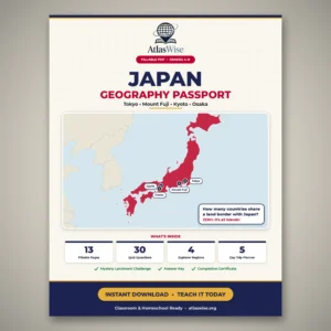
Japan Geography Worksheets – Fillable Passport (Grades 4–8)
Original price was: 22.99 $.14.99 $Current price is: 14.99 $. Add to cart -
Sale!
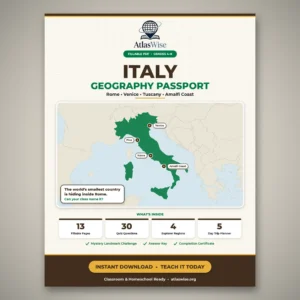
Italy Geography Worksheets – Fillable Passport (Grades 4–8)
Original price was: 22.99 $.14.99 $Current price is: 14.99 $. Add to cart -
Sale!
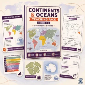
Continents & Oceans Teaching Pack — Primary Geography Curriculum (Grades 2–5)
Original price was: 25.50 $.17.99 $Current price is: 17.99 $. Add to cart -
Sale!
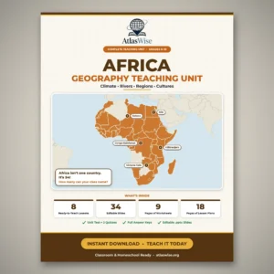
Africa Geography Complete Teaching Unit — Comprehensive Classroom Curriculum (Grades 6–10)
Original price was: 45.99 $.24.99 $Current price is: 24.99 $. Add to cart
Reviews
There are no reviews yet.