Countries & Capitals Teaching Pack — Global Geography Curriculum (Grades 4–7)
Original price was: 25.50 $.17.99 $Current price is: 17.99 $.
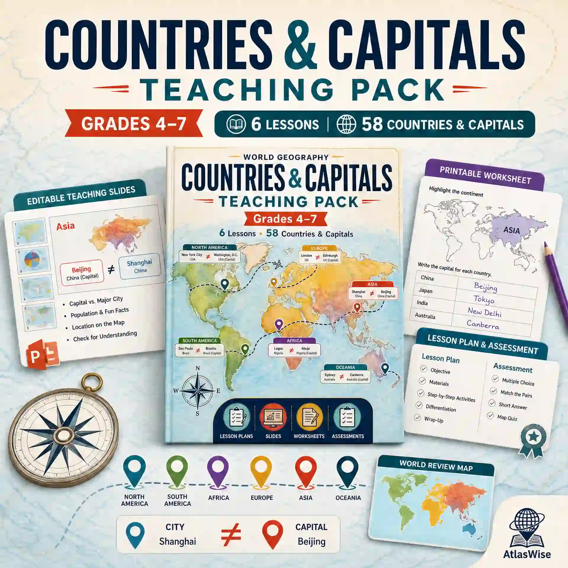
A 6-lesson, continent-by-continent tour of the world’s countries and capitals — North America through Oceania — with lesson plans, an editable slide deck, worksheets, and assessments in one download. This comprehensive countries and capitals teaching pack turns geography into an engaging mental pattern rather than rote memorization.
Description
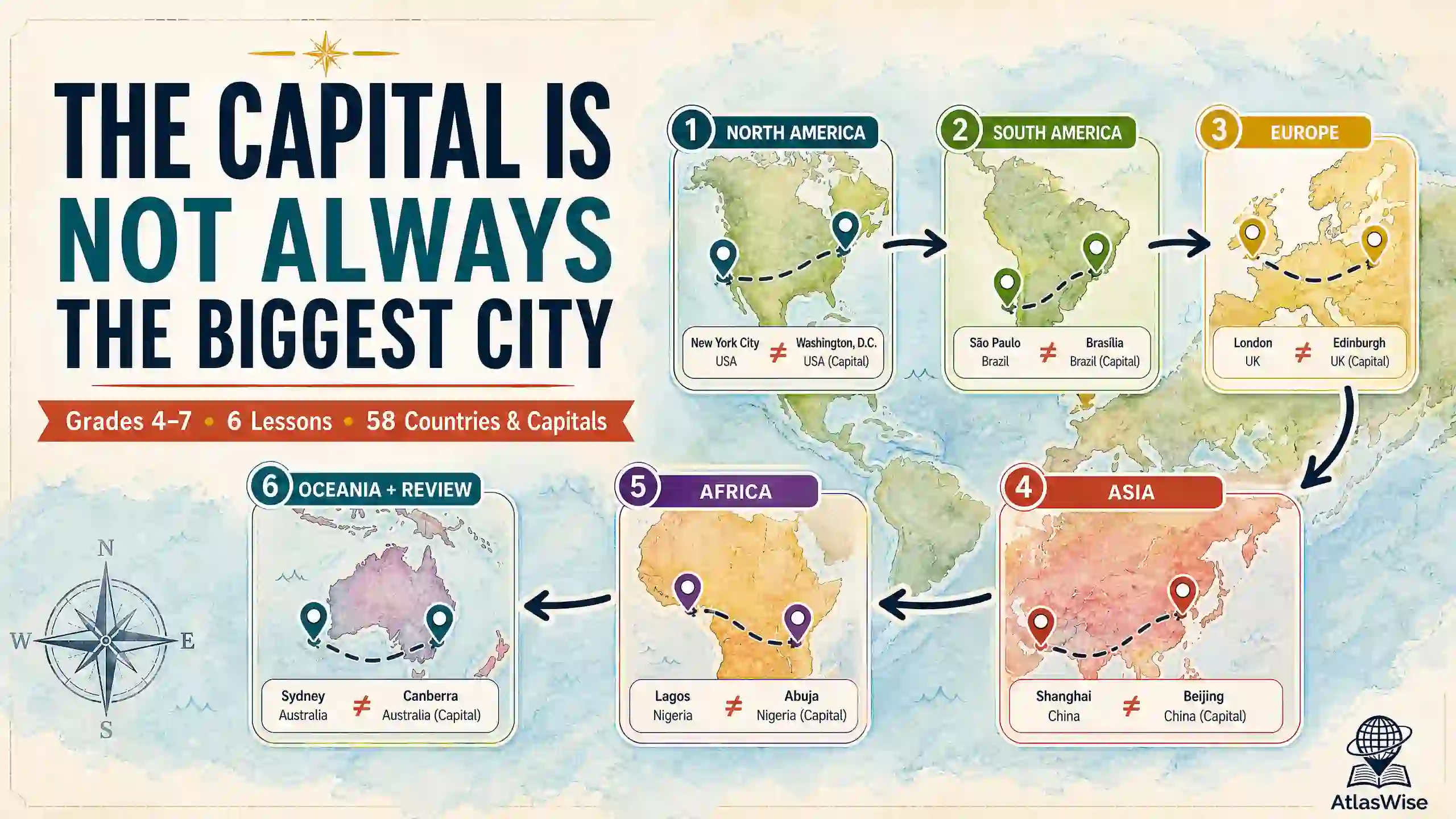
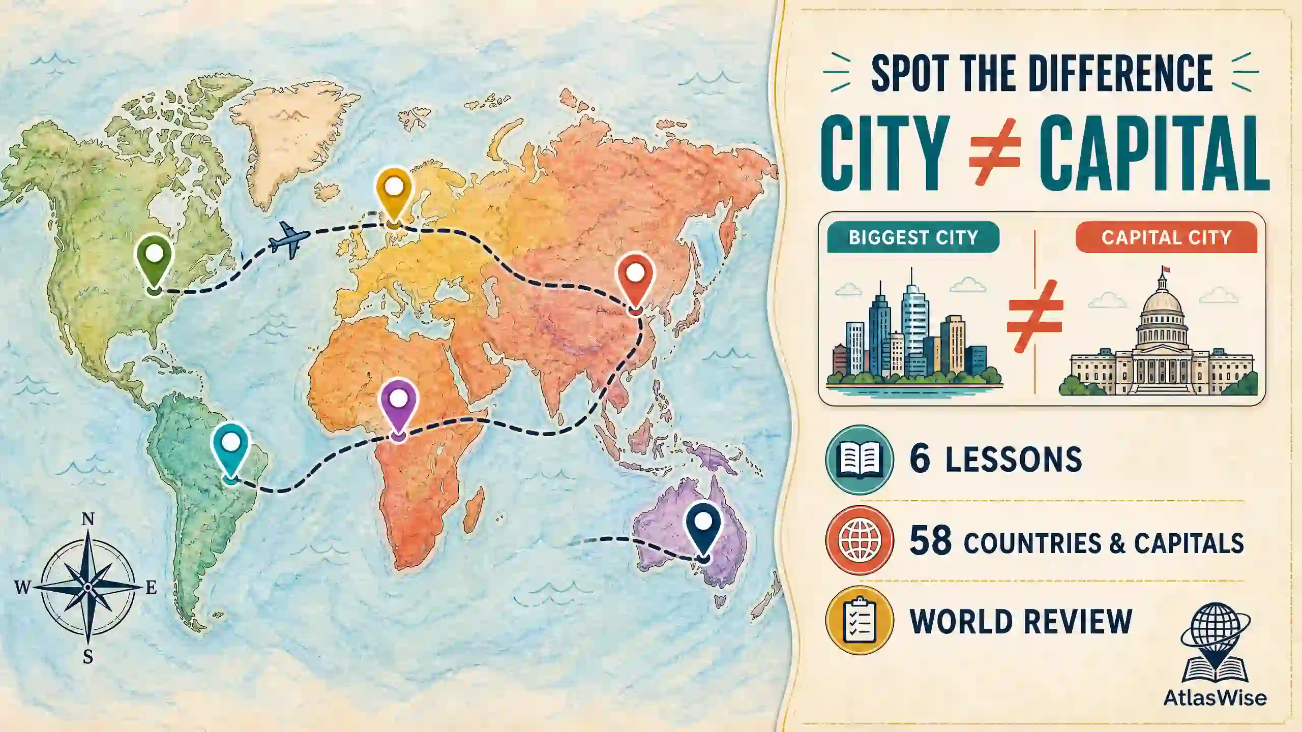
Countries-and-capitals units can turn into flashcard drudgery fast. The AtlasWise countries and capitals teaching pack doesn’t do that — it’s built around a single memorable idea that runs through every lesson: a country’s capital is not always its biggest or most famous city. Washington, D.C. isn’t New York. Canberra isn’t Sydney. Ankara isn’t Istanbul. Wellington isn’t Auckland. Once students catch that pattern in Lesson 1, every later lesson becomes a game of spotting it again — which makes 58 countries and capitals across six continents dramatically easier to teach and remember than a flat list ever could.
Each of the six lessons tours one continent’s major countries and capitals with its own original highlighted map, then closes with a specific “did-you-know” hook — Brazil’s purpose-built capital, Bolivia’s two capitals, South Africa’s three capitals, and Tanzania’s official capital versus its biggest city. For broader educational standards and geographic frameworks, educators can also reference resources from National Geographic Education. Lesson 6 pulls it all together with an Oceania lesson plus a mixed whole-world review, so the unit ends with genuine synthesis. Implementing this countries and capitals teaching pack ensures your students build lasting spatial awareness and critical thinking skills.
Lesson-by-Lesson Breakdown
- Lesson 1: What Is a Capital? North America’s Countries & Capitals — Coverage: 8 countries
- Lesson 2: South America’s Countries & Capitals — Coverage: 8 countries
- Lesson 3: Europe’s Countries & Capitals — Coverage: 10 countries
- Lesson 4: Asia’s Countries & Capitals — Coverage: 10 countries
- Lesson 5: Africa’s Countries & Capitals — Coverage: 8 countries
- Lesson 6: Oceania & World Review — Coverage: 4 countries + 10-country review
What’s Inside (4 Components, 1 Download)
- Lesson Plans — 14-page PDF covering all 6 lessons: learning objectives, key vocabulary, warm-up, direct instruction, guided activity, exit ticket, homework, and Below/Above differentiation for every lesson.
- Teaching Slides — A 26-slide, fully editable PowerPoint deck (.pptx) with a title slide, a divider + highlighted-map + vocabulary + activity sequence for each of the 6 lessons, and a closing review slide. Built in Office-standard fonts so it opens correctly on any machine.
- Worksheet Pack — 8-page PDF, one worksheet per lesson: a highlighted continent map plus a country-to-capital fill-in list, closing with a two-page Lesson 6 that adds a 10-country mixed world review.
- Assessment Pack — 11-page PDF: a 24-question multiple-choice + 3-question short-answer Unit Test, two shorter 5-question formative quizzes (Lessons 1–3 and 4–6), and complete answer keys for every worksheet.
Why Choose This Countries & Capitals Teaching Pack?
Teachers across upper elementary and middle school grade levels rely on structured, time-saving curricula. Choosing our countries and capitals teaching pack provides several distinct advantages:
- One idea threads the whole unit — Washington D.C., Brasília, Ankara, Dodoma, Canberra, and Wellington reinforce the same core pattern, helping students build conceptual mental frameworks instead of memorizing 58 unrelated facts.
- Original highlighted maps for every continent — colored from real country geometry so highlighted countries match the lesson’s exact list.
- Ends with a real whole-world review — a genuine synthesis lesson featuring Oceania plus a 10-country pull from every earlier continent right before the Unit Test.
- Built-in enrichment moments — Bolivia’s two capitals, South Africa’s three, and Tanzania’s capital-vs-biggest-city split give strong students extra depth.
- Complements our other geography packs — pairs naturally with the Africa Geography Complete Teaching Unit and the World Geography Map Skills Teacher Pack.
Format & What You’ll Need
- File Formats: 3 PDFs (Lesson Plans, Worksheet Pack, Assessment Pack) + 1 editable .pptx (Teaching Slides).
- Total Length: 33 printable pages + a 26-slide presentation.
- To Open: Any PDF reader; PowerPoint, Keynote, or Google Slides for the presentation deck.
- To Edit: Teaching Slides are fully editable; PDFs can be annotated or printed as-is.
- Delivery: Instant digital download — no physical item is shipped.
- License: Single classroom / single teacher use. Please purchase additional licenses for school- or district-wide use.
Frequently Asked Questions
- Does this cover every country in the world? No — it covers 58 of the world’s most commonly taught countries across all 6 inhabited continents (Antarctica has no countries or capital, which Lesson 6 uses as a discussion point).
- Is this a good fit for a homeschool co-op or multi-grade classroom? Yes — each lesson stands on its own as a complete continent study, working well whether taught sequentially or pulled individually. For broader catalog browsing, visit our Teacher Resources catalog.
- How does this differ from your Africa Geography Complete Teaching Unit? This pack is a broad countries-and-capitals tour of the whole world. The Africa unit is a deep, single-continent regional geography course covering climate, rivers, culture, and economy. Lesson 5 here serves as a natural on-ramp to the fuller Africa unit.
- Are capital-city facts accurate? Yes — these are genuine, well-documented cases (constitutional vs. seat-of-government capitals, South Africa’s three-branch system) explained in plain language for the grade band.
Good to Know Before You Buy
- This is a digital product. Nothing is shipped — your ZIP file is available for download immediately after purchase.
- Due to the nature of digital goods, all sales are final.
- This countries and capitals teaching pack is your definitive all-in-one curriculum for mastering global political geography in upper primary and middle school classrooms.
Related products
-
Sale!
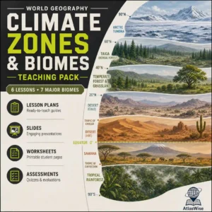
World Climate Zones & Biomes Teaching Pack — 6-Lesson Physical Geography Curriculum
Original price was: 31.99 $.18.99 $Current price is: 18.99 $. Add to cart -
Sale!
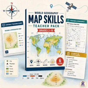
World Geography Map Skills Teacher Pack — Progressive K-10 Curriculum
Original price was: 30.00 $.19.99 $Current price is: 19.99 $. Add to cart -
Sale!
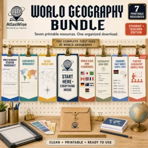
Ultimate World Geography Bundle — Complete Learning Library
Original price was: 24.50 $.17.50 $Current price is: 17.50 $. Add to cart -
Sale!

Ultimate 6-Lesson Natural Disasters & Earth’s Processes Teaching Pack
Original price was: 30.00 $.18.99 $Current price is: 18.99 $. Add to cart
Reviews
There are no reviews yet.